Log in
All resources
Create a design
35,690 Free Images of Round Maps
california
maps in the library of congress
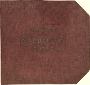
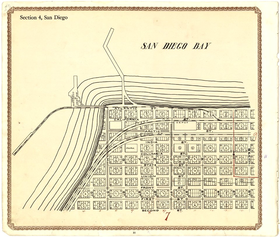
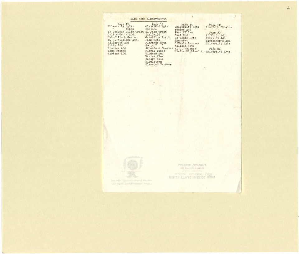
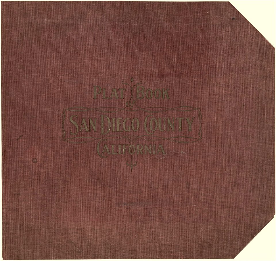
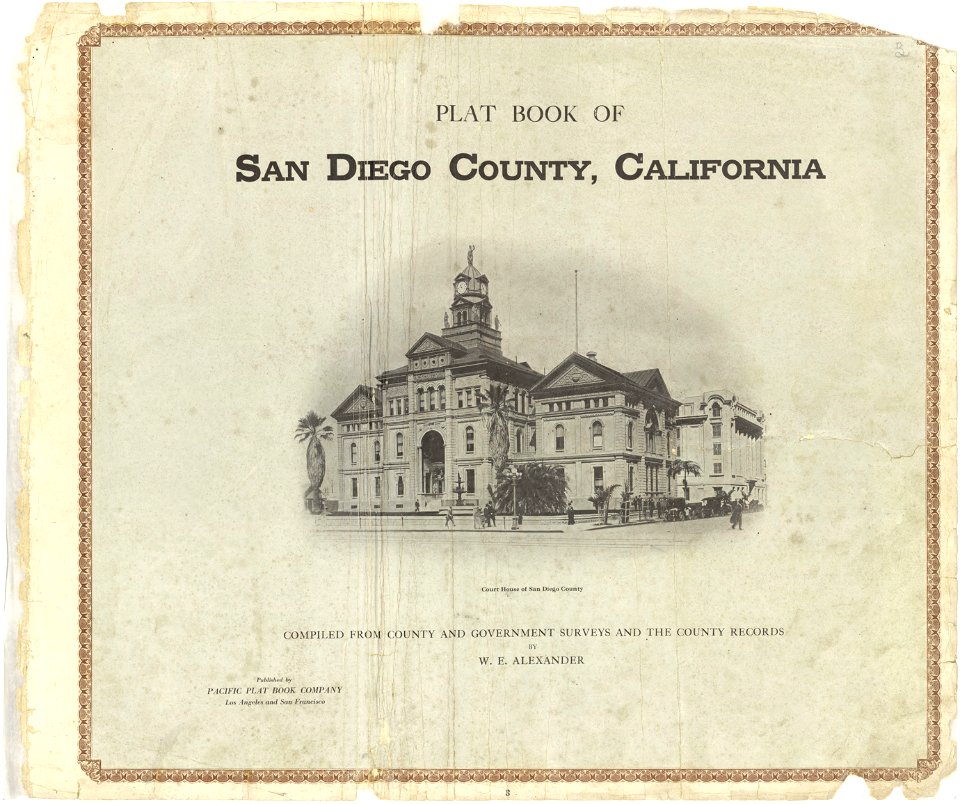
plat book of san diego county
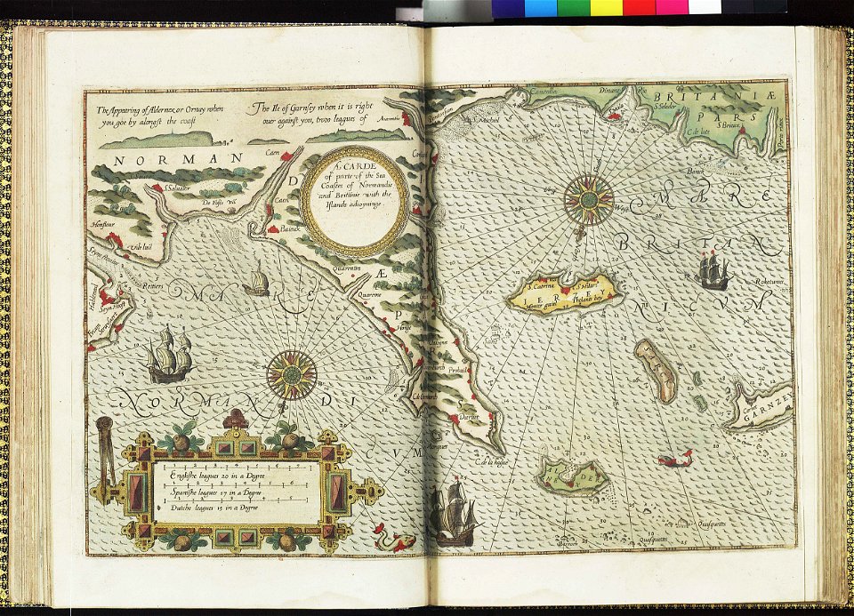
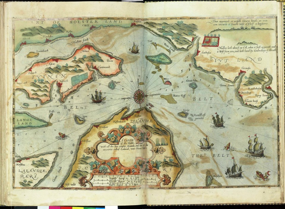
lucas janszoon waghenaer
charts and maps of the royal museums greenwich
mariners mirrour
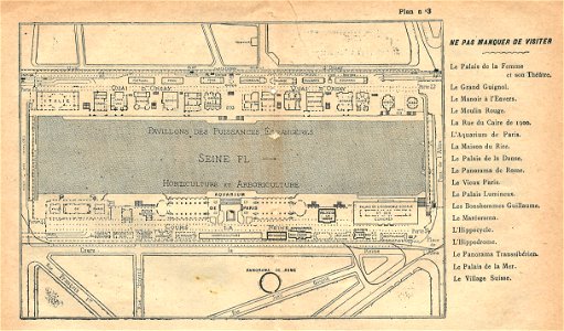
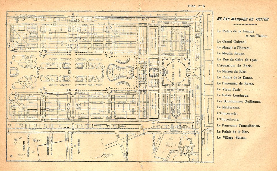
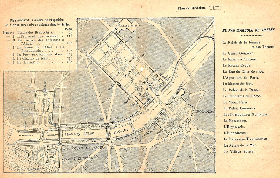
maps of the exposition universelle (1900)
illustrations du catalogue remboursable de l'expo 1900
braun & hogenberg
atlas de wit 1698
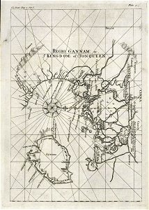
trịnh lords
1732
prints from dankaerts historis at the peace palace library
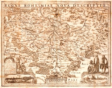
old maps of bohemia
prints from dankaerts historis at the peace palace library
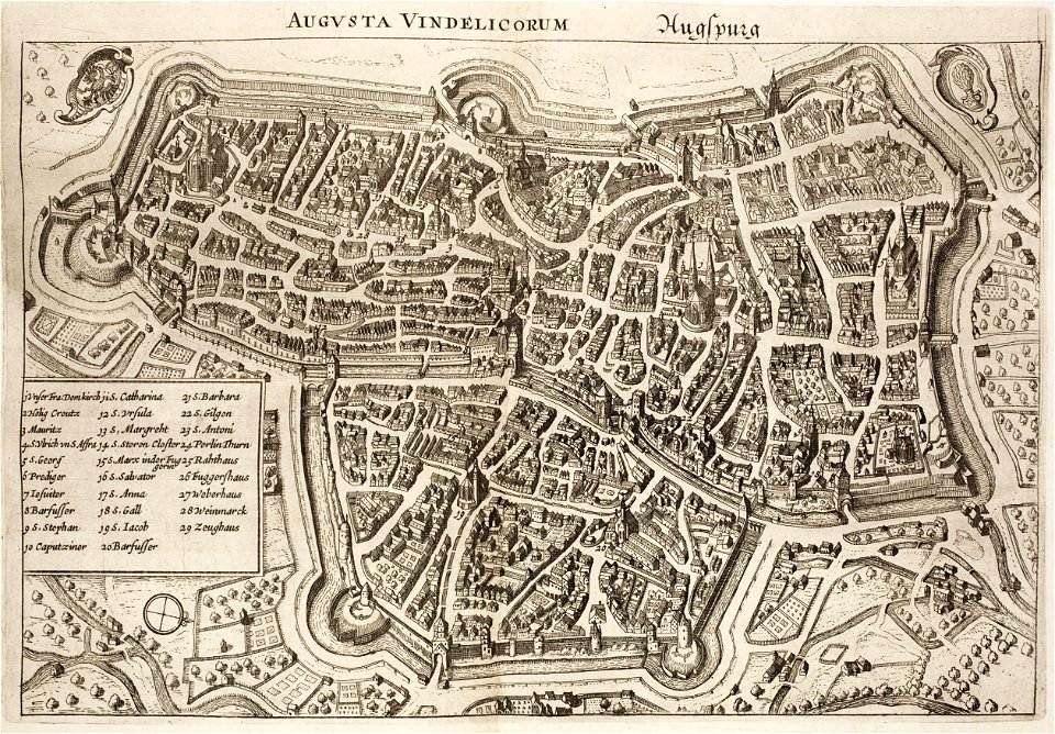
1640s maps of augsburg
netherlands in the 1660s
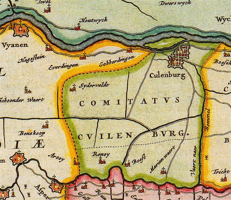
old maps of gelderland
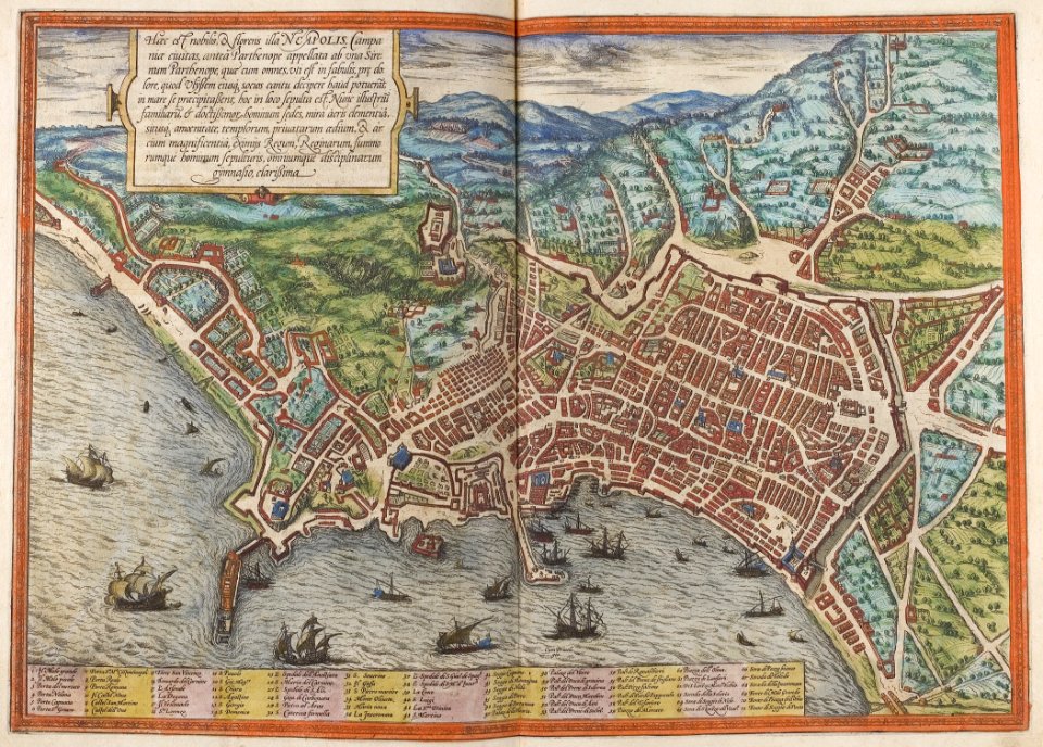
old maps of naples
braun & hogenberg
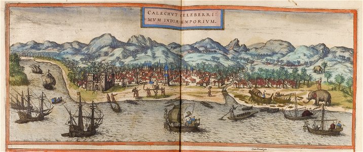
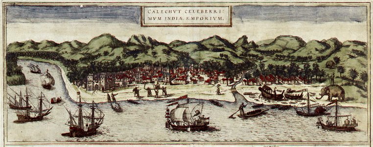
historical images of kozhikode
braun & hogenberg
braunschweig in the 1890s
old maps of braunschweig
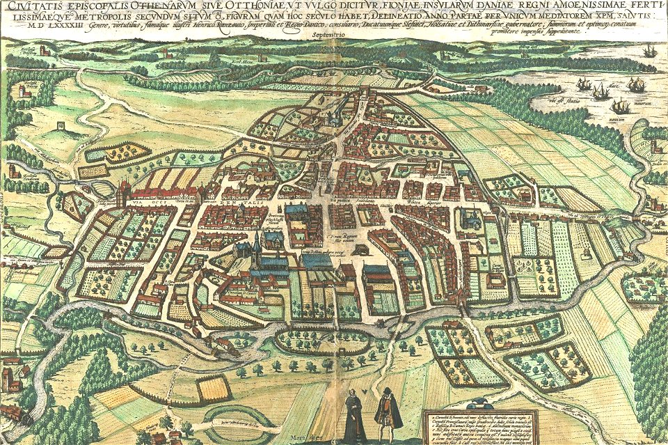
odense å
odense
historical images of kozhikode
braun & hogenberg
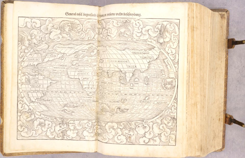
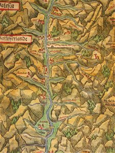
illustrations of cosmographia (münster)
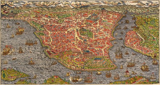
old maps of constantinople
cosmographia - beschreibung aller lender durch sebastianum munsterum (1545)
1540s maps of the world
cosmographia - beschreibung aller lender durch sebastianum munsterum (1545)
old maps of the americas
bibliothèque municipale de reims
port of dieppe
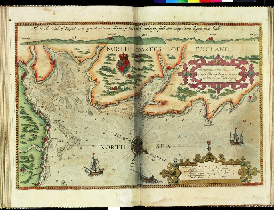
charts and maps of the royal museums greenwich
lucas janszoon waghenaer
charts and maps of the royal museums greenwich
lucas janszoon waghenaer
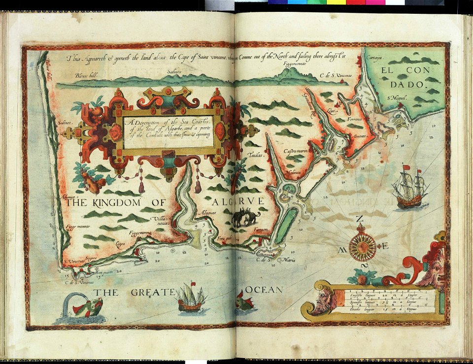
charts and maps of the royal museums greenwich
lucas janszoon waghenaer
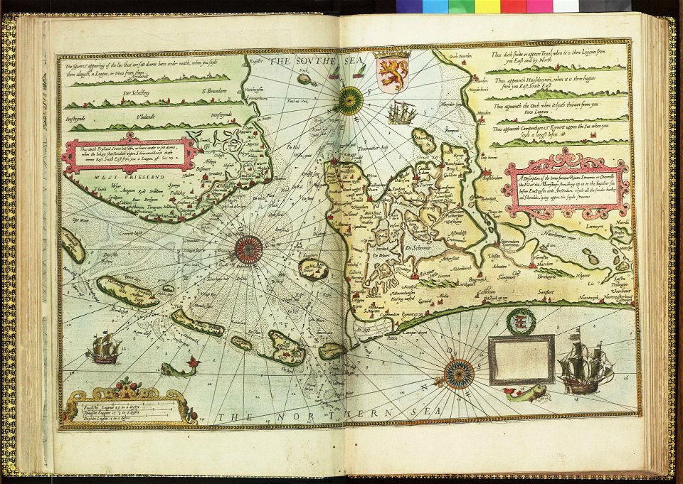
charts and maps of the royal museums greenwich
lucas janszoon waghenaer
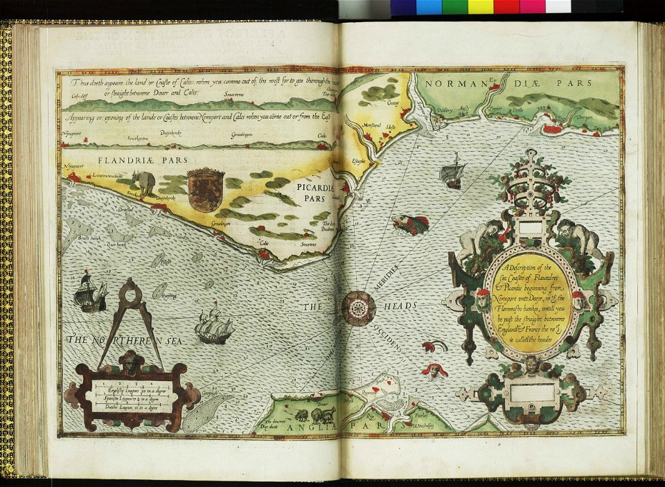
charts and maps of the royal museums greenwich
lucas janszoon waghenaer
charts and maps of the royal museums greenwich
lucas janszoon waghenaer
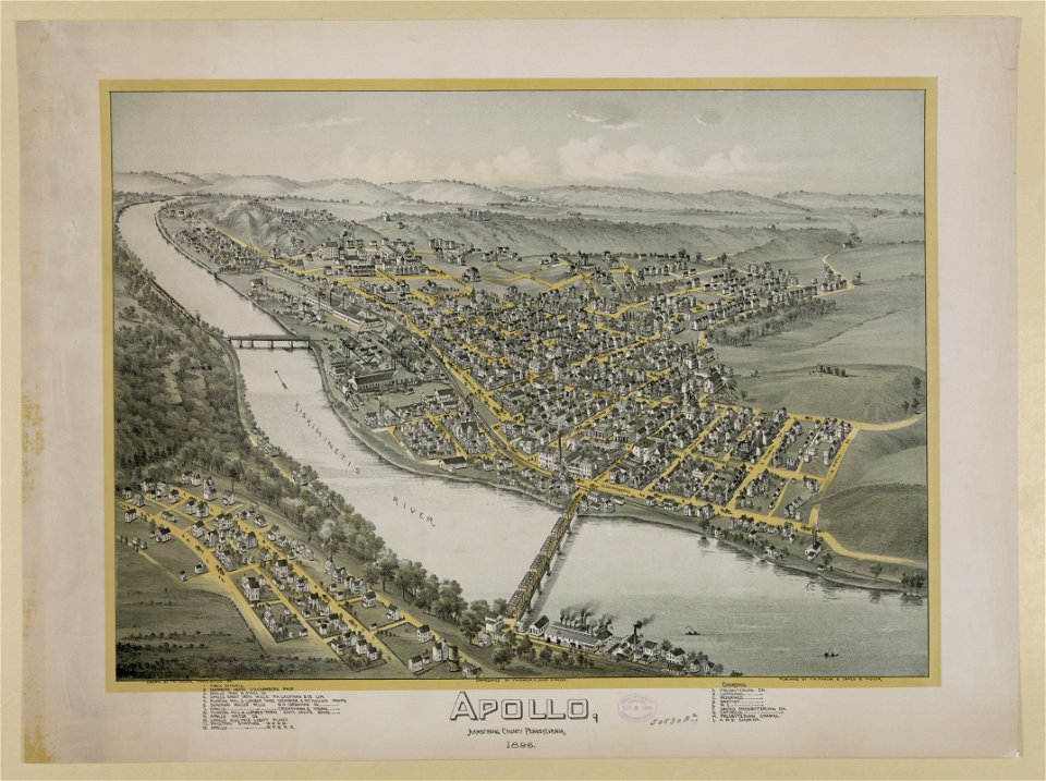
pennsylvania
apollo
geographical illustrations by coronelli
athens in the ottoman era
atlante veneto (raremaps.com) volume 2
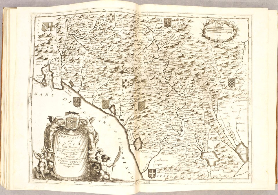
republic of lucca
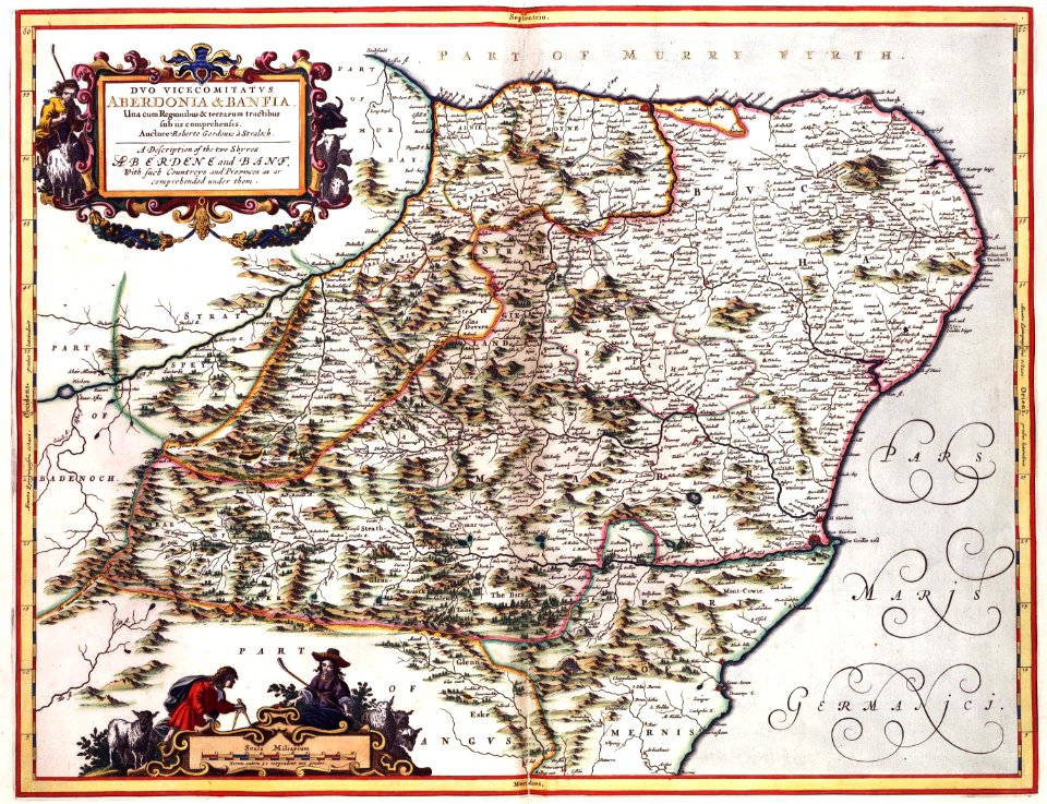
maps with cartouches
atlas van der hagen
maps with cartouches
atlas van der hagen
maps with cartouches
atlas van der hagen
kennebec river
maine
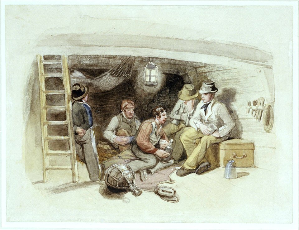
frederick marryat
printing
maps by willem and johannes blaeu
emmerich am rhein in art
„atlas coelestis in quo mundus spectabilis“ by j.b. doppelmayr
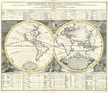
double hemisphere world maps
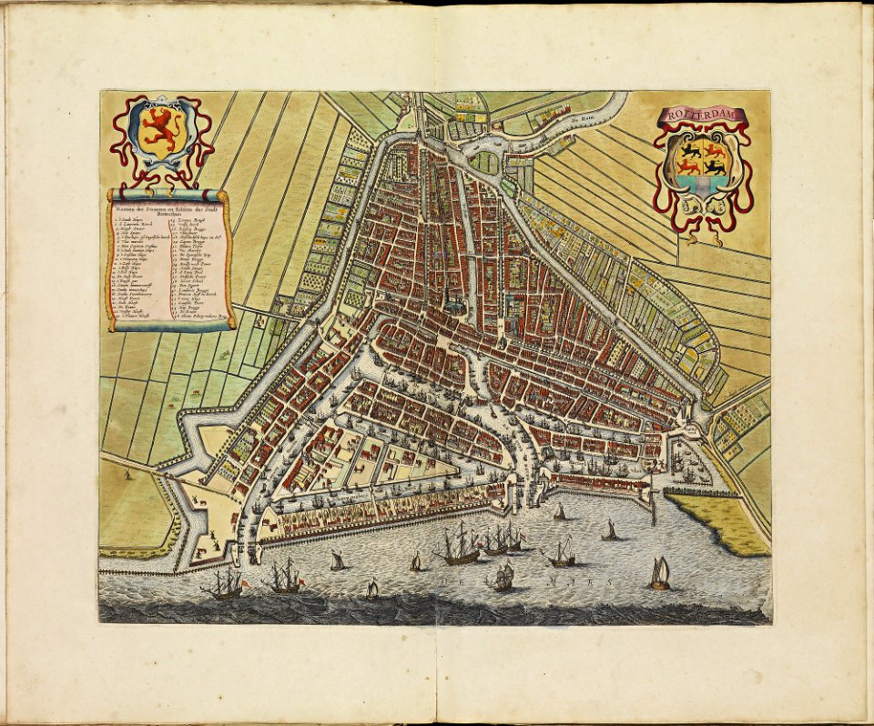
rotterdam in the 17th century
old maps of rotterdam
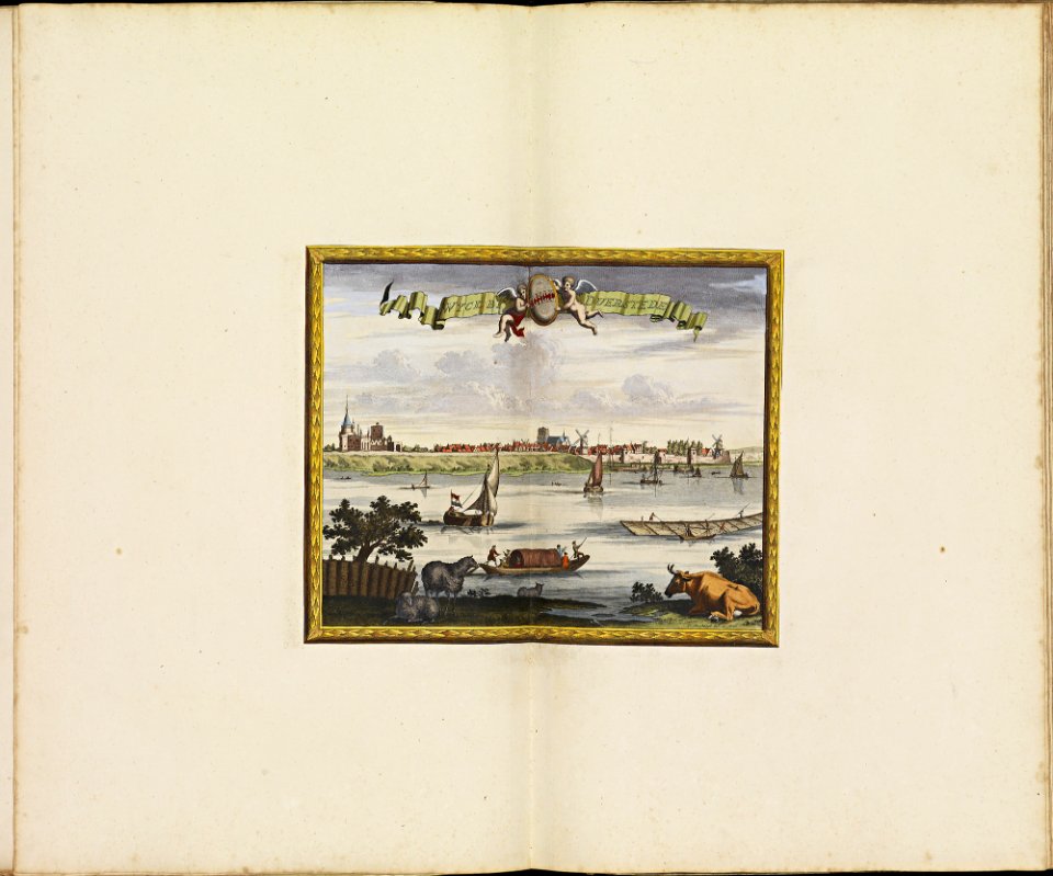
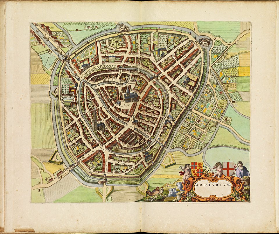
atlas de wit 1698
frederick de wit
old maps of amersfoort
atlas de wit 1698
engravings of angels
fairies in art
cosmographia (1628) by sebastian münster
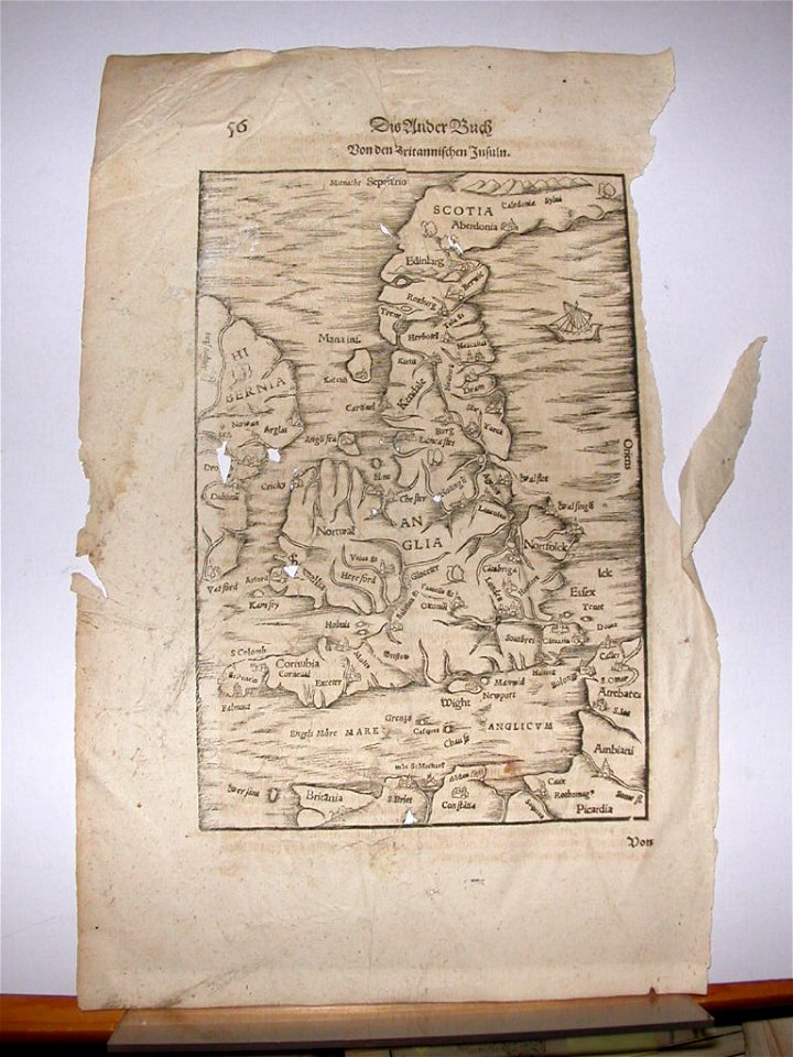
old maps of the british isles
old maps of the british isles
ptolemaic britain
atlas de wit 1698
frederick de wit
society for the diffusion of useful knowledge (great britain)
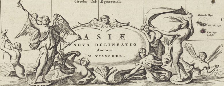
1840 maps of asia
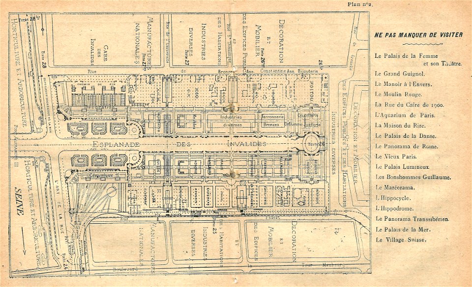
illustrations du catalogue remboursable de l'expo 1900
maps of the exposition universelle (1900)
illustrations du catalogue remboursable de l'expo 1900
maps of the exposition universelle (1900)
illustrations du catalogue remboursable de l'expo 1900
maps of the exposition universelle (1900)
illustrations du catalogue remboursable de l'expo 1900
maps of the exposition universelle (1900)
illustrations du catalogue remboursable de l'expo 1900
maps of the exposition universelle (1900)
claes jansz. visscher (ii)
1627
illustrations du catalogue remboursable de l'expo 1900
maps of the exposition universelle (1900)
schauplatz der fünf theile der welt
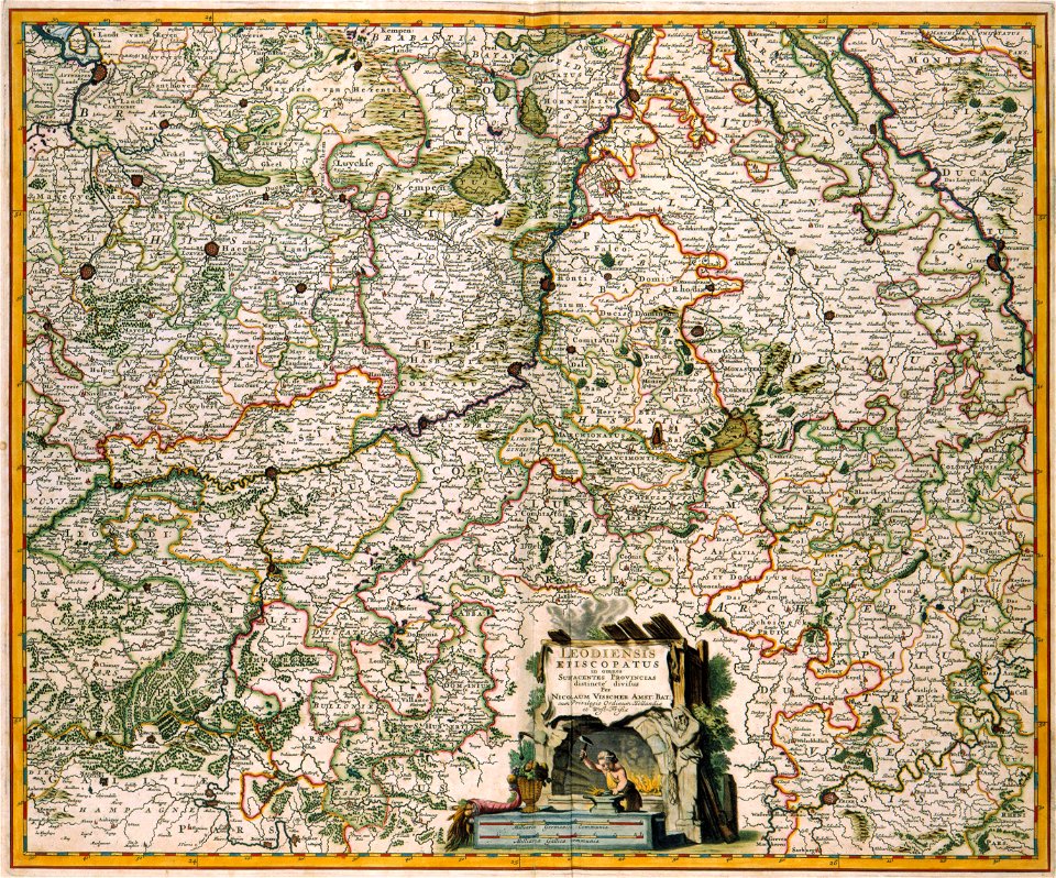
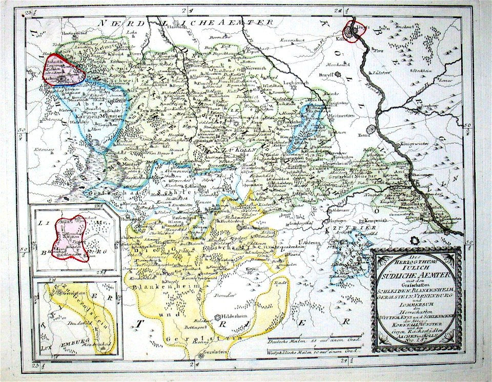
old maps of the duchy of jülich
description des principales villes (1690)
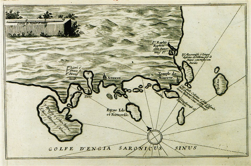
history of aegina
kvarteret rännilen
stockholm
winter and spring on the shores of the mediterranean (1875)
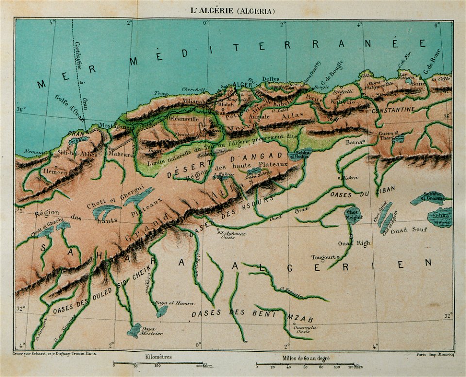
maps of algeria
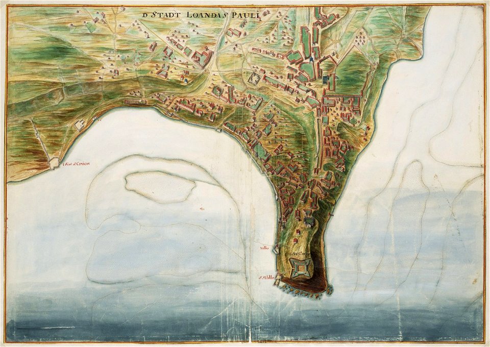
dutch–portuguese war
1665
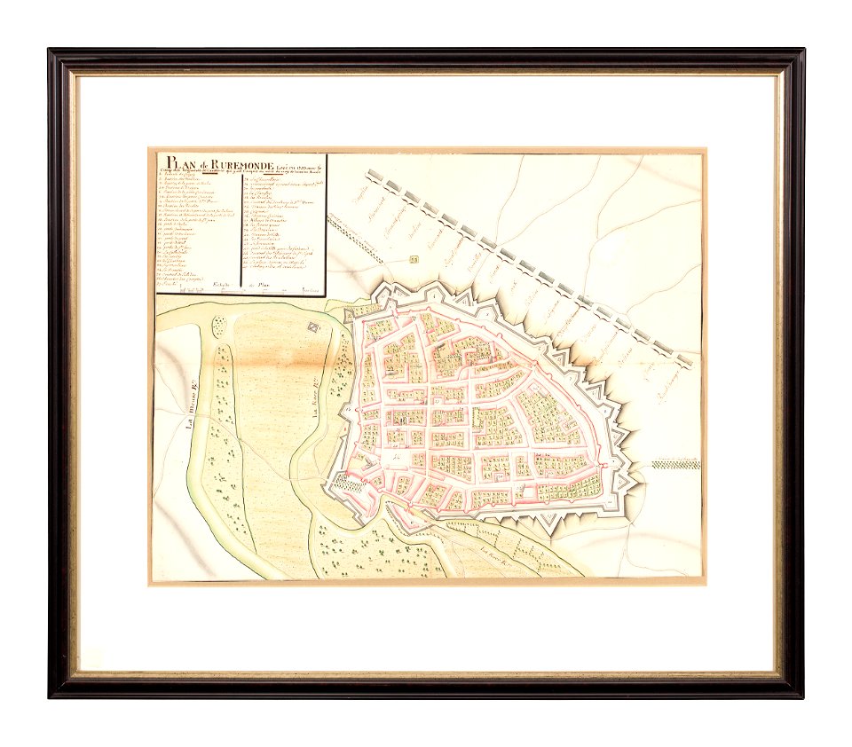
collections of limburgs museum
old maps of roermond
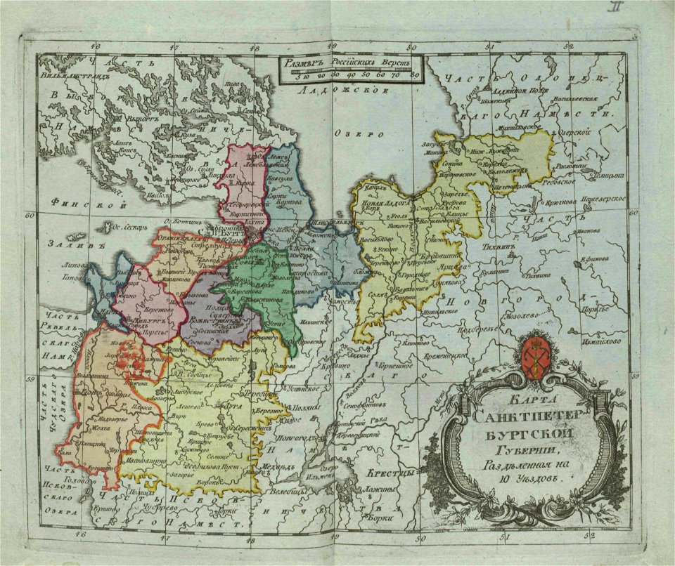
small atlas of the russian empire (1796)
old maps of saint petersburg governorate
collections of limburgs museum
old maps of roermond
small atlas of the russian empire (1792)
maps of vologda governorate
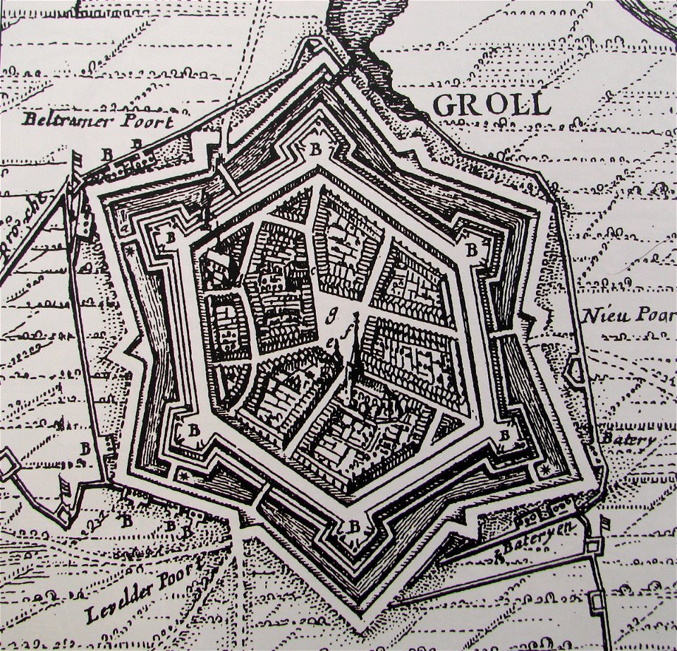
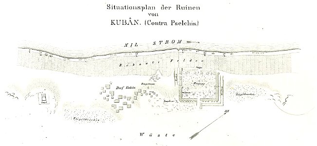
lepsius-projekt - fortifications
lepsius-projekt - maps
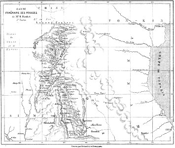
volume 8 of le tour du monde
old maps of thailand
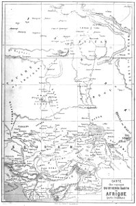
old maps of africa
heinrich barth
volume 1 of le tour du monde
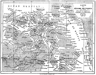
john franklin
volume 4 of le tour du monde
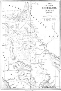
old maps of mexico
illustrations of cosmographia (münster)
old maps of switzerland
illustrations of cosmographia (münster)
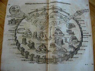
old maps of rome
small atlas of the russian empire. 1796 year
old maps of yaroslavl governorate
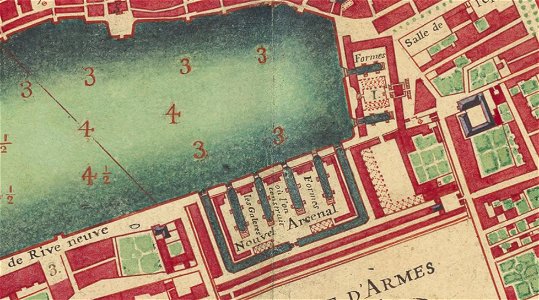
old maps of marseille
french navy bases
prints from the peace palace library
old maps of the roman empire
„atlas coelestis in quo mundus spectabilis“ by j.b. doppelmayr
double hemisphere world maps
old maps of bologna
bologna in art
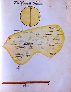
ämteratlas des fürstentums lüneburg von johannes mellinger
maps of soltau
engravings of topographia saxoniae inferioris
old maps of mecklenburg
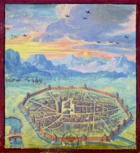
illustrations from the archipelago on fire by léon benett
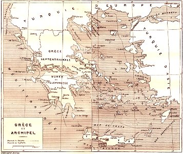
old maps of greece
18th-century maps of the world
armillary spheres in art
airmail stamps of the united states
maps of the united states on stamps
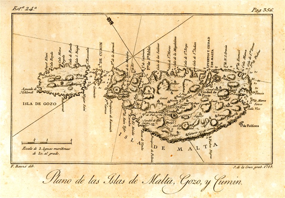
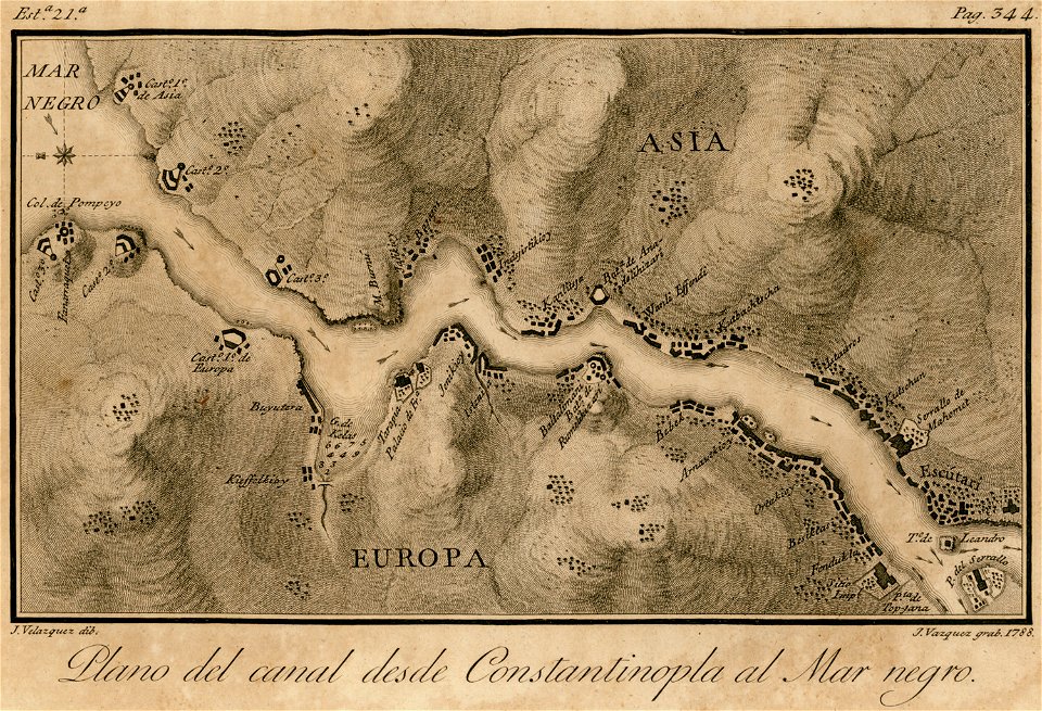
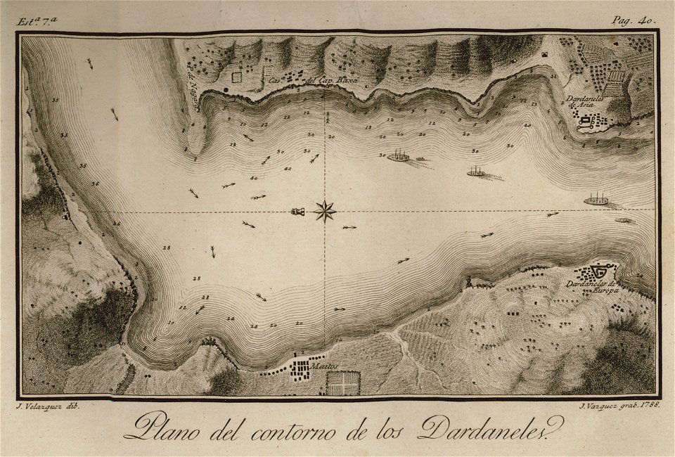
viage á constantinopla
old maps of malta
travels in various countries of europe
asia and africa
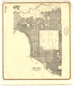
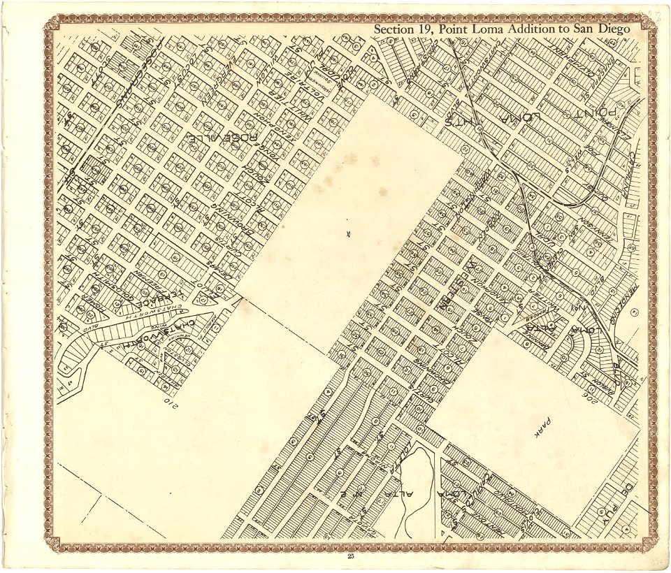
maps in the library of congress
california
viage á constantinopla
maps of the bosphorus
maps in the library of congress
california
en el año de 1784 (1790)
viage á constantinopla
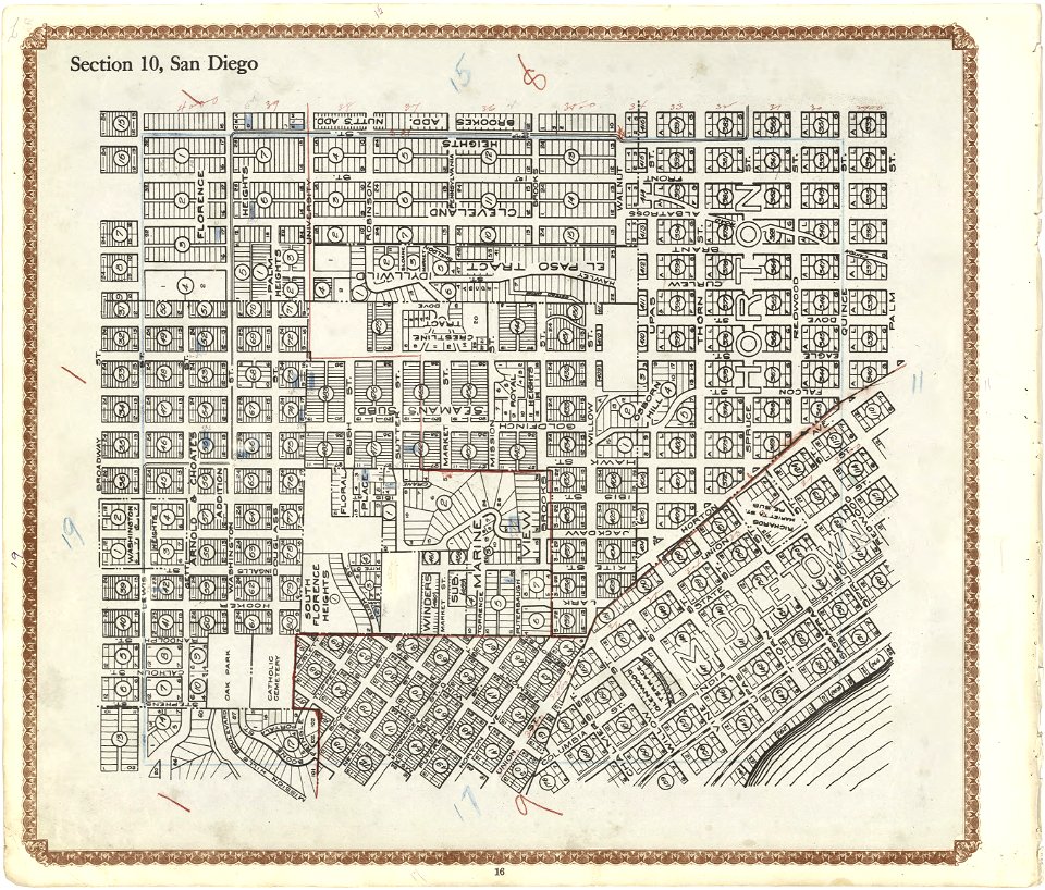
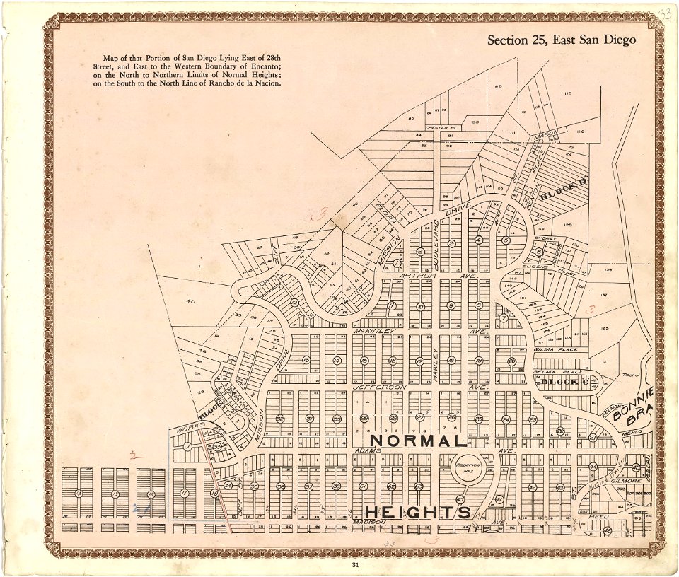
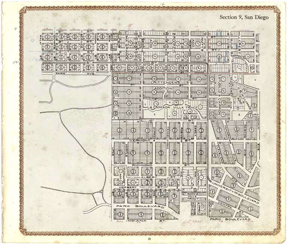
maps in the library of congress
california
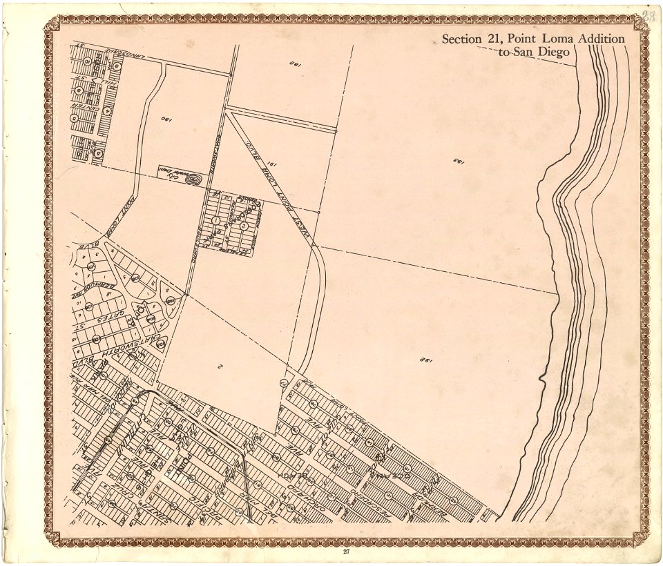
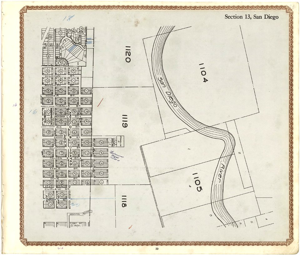
maps in the library of congress
california
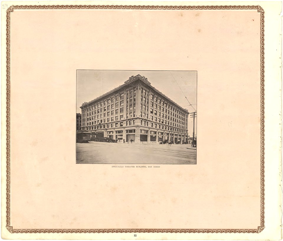
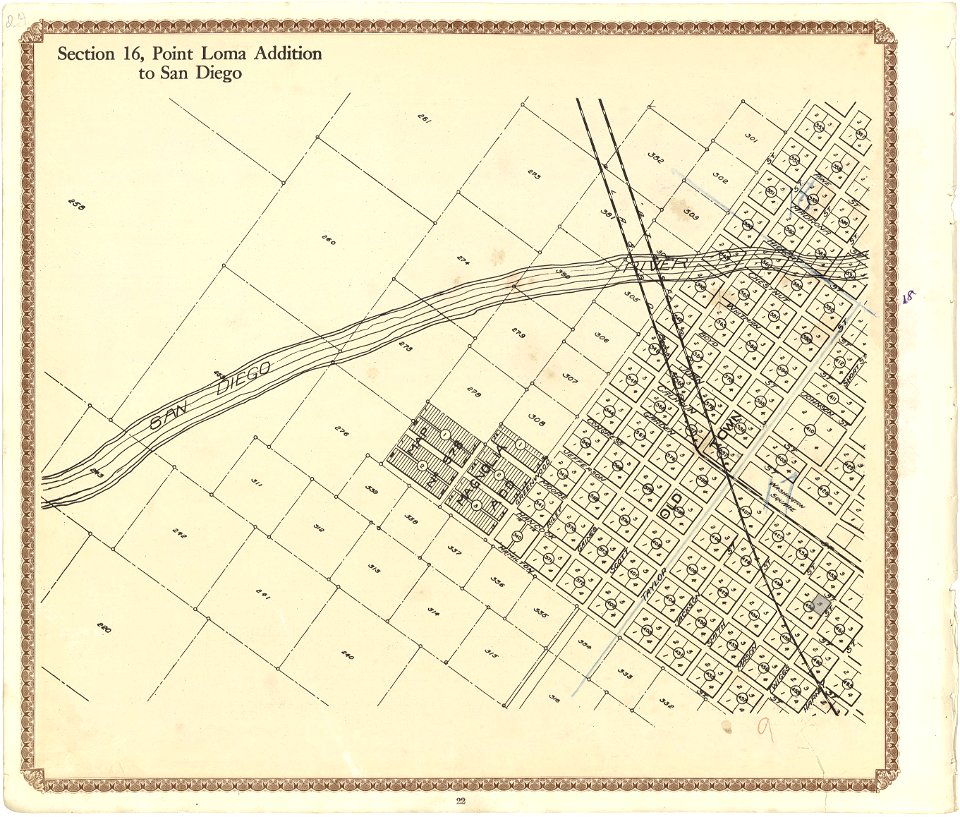
maps in the library of congress
california
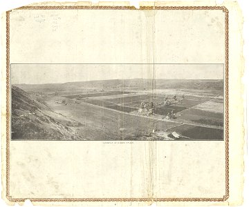
maps in the library of congress
california
maps in the library of congress
california
maps in the library of congress
california
maps in the library of congress
california
maps in the library of congress
california
maps in the library of congress
california
maps in the library of congress
california
maps in the library of congress
california
maps in the library of congress
california
maps in the library of congress
california
maps in the library of congress
california
maps in the library of congress
california
maps in the library of congress
california
maps in the library of congress
california
maps in the library of congress
california
maps in the library of congress
california
maps in the library of congress
california
maps in the library of congress
california
maps in the library of congress
california
maps in the library of congress
california
maps in the library of congress
california
8901 - 9000 of 35,690
Next page
/ 357